Exporting Geographical Diagrams
The Tool enables users to export an adjusted geographical diagram or a geo-schematic diagram to a CIM/XML file together with or separately from the underlying network model. The main reason for exporting an adjusted geographical diagram or geo-schematic diagram is for reuse or sharing, as described in the diagram sharing use case.
A geo-schematic diagram is fundamentally a schematic diagram. It can be exported just like other schematic diagrams.
There are a few ways to export adjusted geographical diagram as a CIM/XML file, each applying to a specific use case.
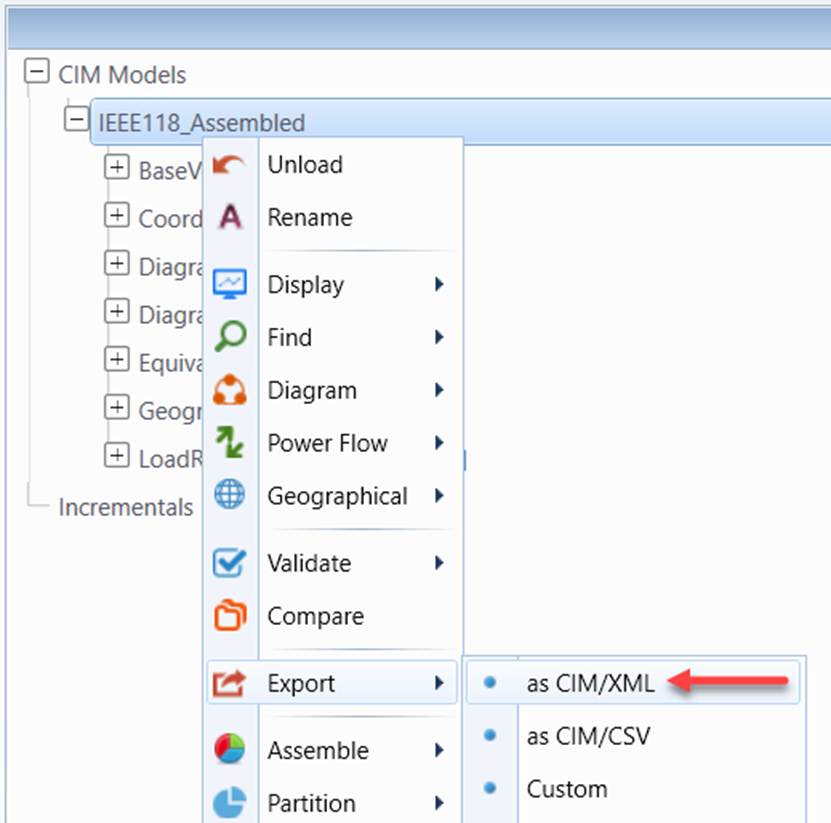
- Export the whole model as a single CIM/XML file. This is the normal use case where users are in the middle of building some custom diagrams. They want to keep a copy of the current status.
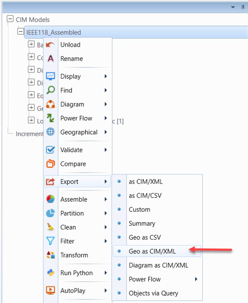
- Export all of the geographical information as a single CIM/XML file based on the CIM Diagram Profile. Typically users want to export a partial diagram model so that it can be used for a new version of the network model which may be maintained in a different modeling environment.
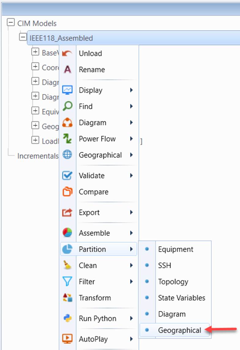
- Export geographical information as a single CIM/XML file purely based on the CIM Diagram Profile (only available for CIM16 models) through model partition. This is the case when users want to share the built diagrams with other applications. This function is only available for CIM 16 and above.