Geo-Schematic Diagram
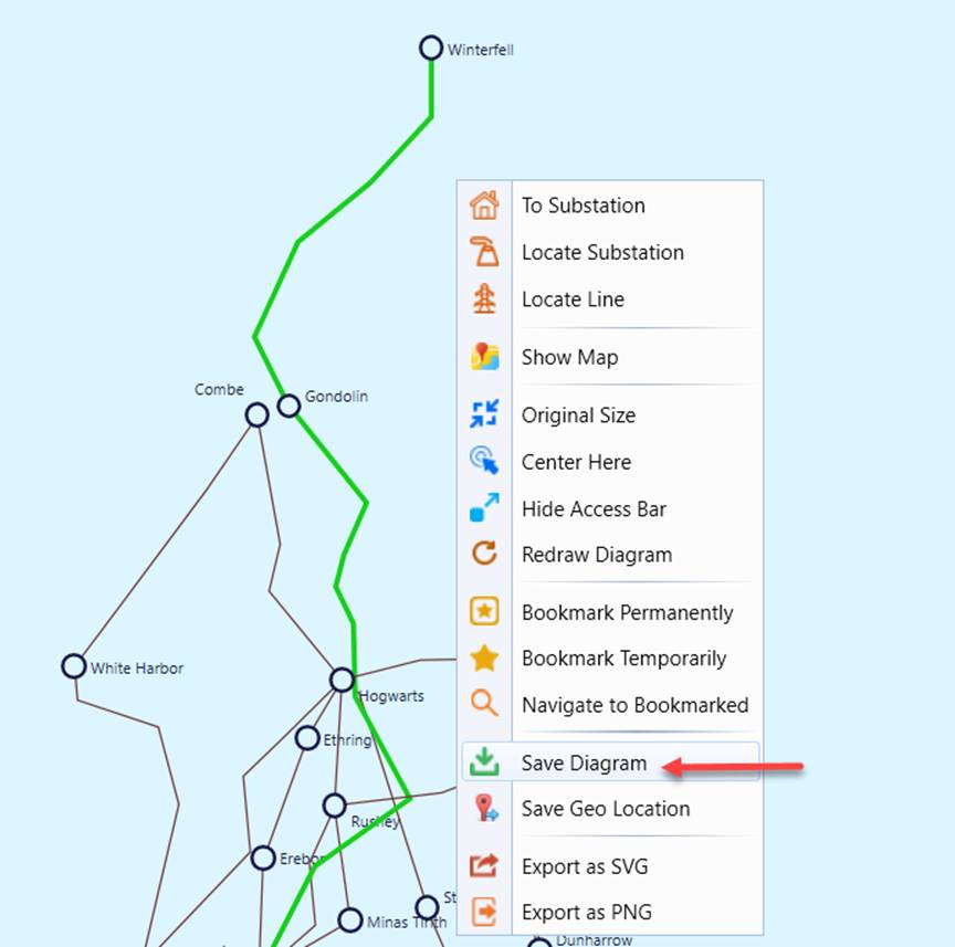
The Tool enables users to adjust a geographical diagram and save the adjusted geographical diagram as a geo-schematic diagram. A geo-schematic diagram is a schematic diagram, conforming to IEC 61970-453, but it contains the geographical information. A geo-schematic diagram is rendered as a geographical diagram in the Tool.
It is important to keep in mind that a geo-schematic diagram is a snapshot of the geographical diagram when the geo-schematic diagram is created. If the geographical diagram is later updated, any of the geo-schematic diagrams derived from the previous geographical diagrams will not be updated. Fundamentally, there is only one geographical diagram system wide, but users can create unlimited number of geo-schematic diagrams. Again, geo-schematic diagrams are the snapshots of the reality-based geographical diagram. They are used as starting point for creating geographic-based schematic diagrams.
A geographical diagram is based on the geographical locations of the Substations and Lines/ACLineSegments. Typically a geographical diagram presents natural layout of a power grid. It serves as a good starting point to build a system or region overview diagram. Users, however, may want to adjust the positions of some of Substations and Lines/ACLineSegments. This is because the layout of a geographical diagram may not exactly fit for schematic overview. The portions of the network in the urban areas are typically dense, while the Substations in the remote areas are widely scattered. Users may want to adjust the original geographical diagram to for better clarity and look-and feel, as illustrated below.
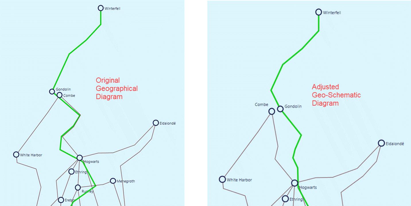
Once the adjusted geographical diagram is saved as a geo-schematic diagram, it can be persisted and exported as a schematic diagram conforming to IEC 61970-453. The exported geo-schematic diagram can be shared by other applications. A geo-schematic diagram is a snapshot of the adjusted geographical diagram. The diagram originates from the geographical diagram, but adjusted for better clarity and look-and-feel. It serves as a system or region overview diagram.
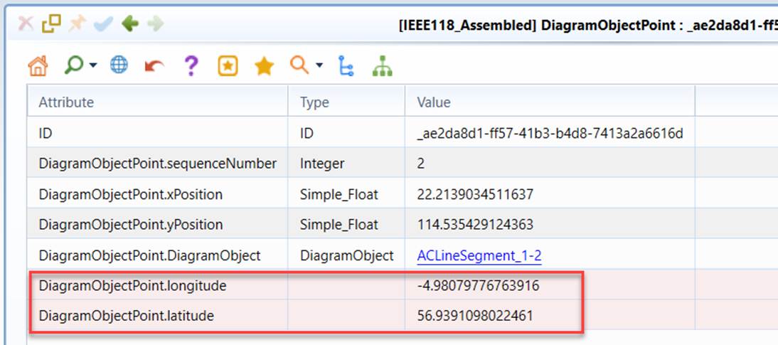
A geo-schematic diagram conforms to IEC 61970-453, but contains the extensions used to store the geographical location for each DiagramObjectPoint, as illustrated below.
Like other schematic diagrams, a geo-schematic diagram automatically adapts to the changes of underlying models, thus enabling them to be maintained separately from the underlying network model.